Saturday, October 24, 2015

Charlies's Bunion

Charlie's Bunion (Appalachian Trail)
October 24, 2015
8.8 Miles Total
0 New Miles
555.19 Total Smoky Miles to Date (Since November 2013)
244.40 Total Miles in 2015


What a perfect fall day in the Smoky Mountains!!!

The trail to Charlie's Bunion is not an easy trail but not so hard that anybody can't do it.  It's a steady climb for about half of the round trip.  Uphill from the beginning and then downhill to the bunion.  And then of course you have to climb back out, then it is downhill till the end.  

Luckily we beat the crowd and had the bunion to ourselves by getting there at 7:00 am.

I'll let the pictures speak for themselves.......breathtaking!


"The best views come after the hardest climbs"

Saturday, October 17, 2015

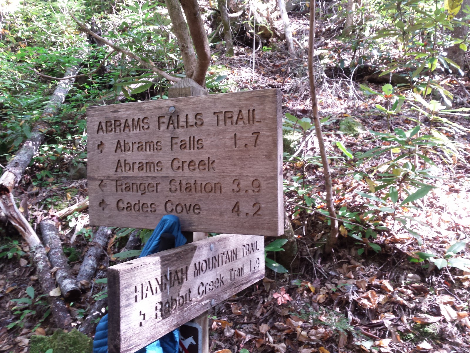
Abrams Falls Trail, Hatcher Mountain Trail, Cooper Road Trail and Wet Bottoms Trail

Abrams Falls Trail, Hatcher Mountain Trail, Cooper Road Trail and Wet Bottoms Trail
October 17, 2015
13.3 Miles Total
6.5 New Miles
546.39 Total Smoky Miles to Date (Since November 2013)
235.60 Total Miles in 2015


Abrams Falls is always one of my favorite trails, especially once you pass the falls.  It is very peaceful and runs along the river.  Most people just go the falls and then turn around and go back to their cars.  It is a fairly flat easy trail past the falls and I recommend continuing on.  This is one of those trails I don't mind repeating.  The leaves were just beginning to change colors.  And it was a beautiful day to be in the mountains.

Hatcher Mountain and Cooper Road Trail will give you a good workout, in the brown book it doesn't look like much of a climb but it sure wore my legs out.  There really wasn't much to see on these two trails other than the trees you were walking among. (Well the ones that were left, that hadn't fallen)  I would definitely recommend gaiters though because these trails are over grown with thorns and sticky things.  There are several creek crossings but none of them are difficult.

Wet Bottoms, well I can't really tell you anything about Wet Bottoms other than we missed our turn and we aren't even sure what trail we took but it wasn't Wet Bottoms so we will have to do that one another day.


Smoky loves waterfalls :)

See rock wall, must climb :)


"There are no shortcuts to any place worth going."  - Beverly Sills

Monday, October 5, 2015

Mt Sterling Trial, Mt Sterling Ridge Trail, Balsam Mountain Trail, Palmer Creek Trail and Pretty Hollow Gap Trial

Mt Sterling Trial, Mt Sterling Ridge Trail, Balsam Mountain Trail, Palmer Creek Trail and Pretty Hollow Gap Trial
October 5, 2015
16.8 Miles Total
14.5 New Miles
533.09 Total Smoky Miles to Date (Since November 2013)
222.30 Total Miles in 2015


If you like a challenge this is a good loop for you!  Especially if you go after a week of rain!  

We started our hike on the Mt Sterling Trail.  This trail is straight up for 3.2 miles and the climb starts as soon as you get out of the car.  I pulled up on my parking brake a few times just to make sure because even where you park is steep!  It was a foggy day but the leaves were just beginning to change colors so it was pretty.  I don't mind the fog sometimes,  it's kinda neat looking and it keeps you feeling cooler.  After the first climb of 3.2 miles the rest of the trail is pretty easy other that the distance.  This was the longest day hike I had done so far.  We ended up walking a total of a little over 19 miles because you have to walk down Balsam Mountain Road for a bit to get to Palmer Creek Trail.  Palmer Creek Trail offers many challenges as it is in need of some trail maintenance from the storms.  There were trees down across the trail around every turn it seemed.  I don't mind the challenges though, it keeps the hike interesting.  


You can barely see Sam up the trail from me because of the fog


Thought this tree was pretty neat

The trail was basically a creek all day

The view from Mt Sterling Ridge Trail


Our second trail of the day was Mt Sterling Ridge Trail.  Being up on the ridge gave us a break from walking in the creek/ trail.


The roots of a tree that had fallen

Beautiful view of the colorful leaves


As we started heading down the Balsam Mountain Trail we got back to walking in the creek/ trail.


Laurel Gap Shelter
We stopped here for a lunch break.


This creek crossing was just about impossible.  It was about 2 feet deep at the crossing and flowing fast.


More trees across the trail, this set of trees were especially challenging.

Pretty Hollow Gap, the final trail of the day.  Very happy to see this sign.


"The start is what stops most people"- Don Shula